Digital tools help restore rangelands and adapt to a changing climate
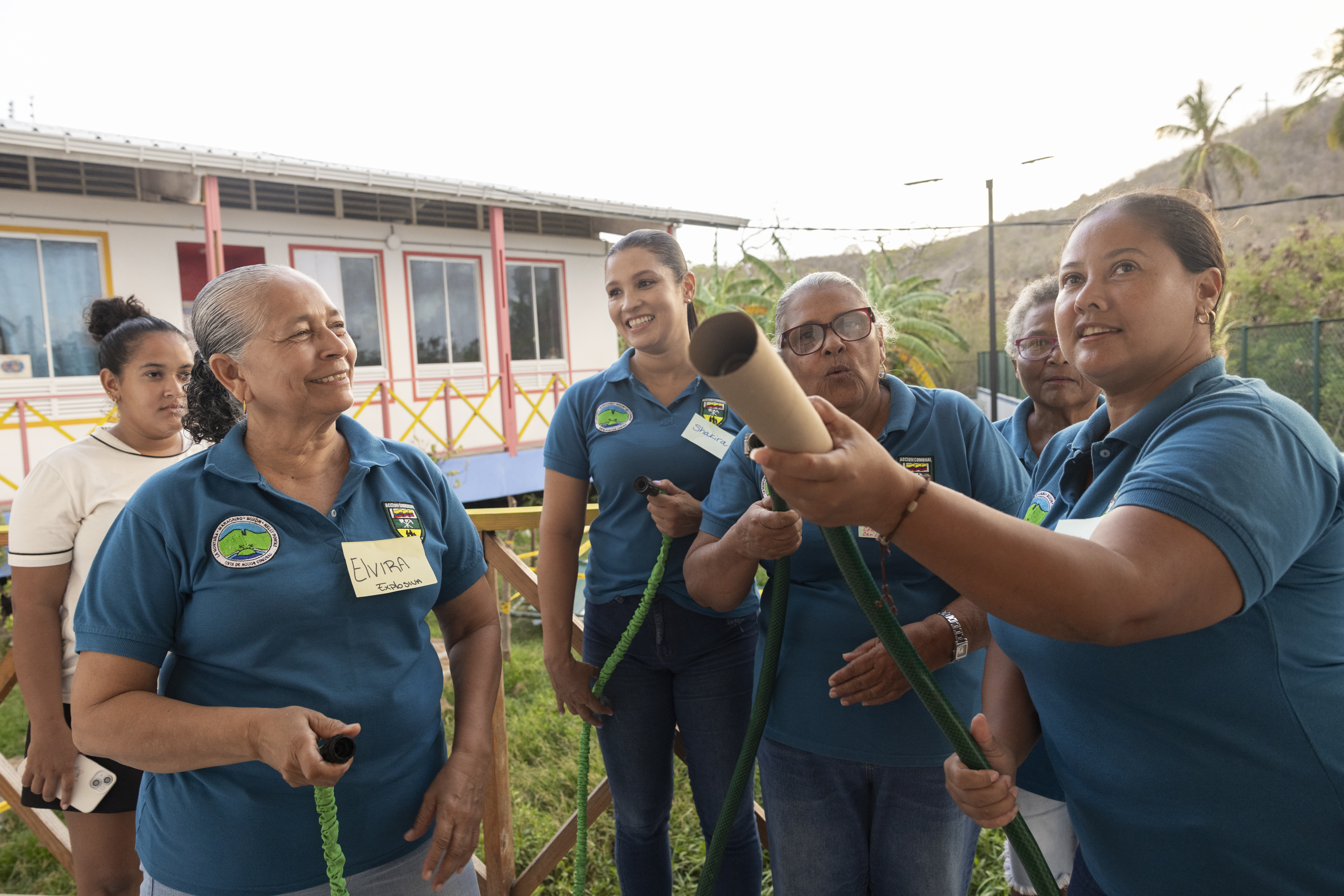
Communities in Kenya partner with Cisco and Mercy Corps for climate resilience

Saadia is the sole provider for her family. She supports them primarily by managing livestock like goats, sheep, and cows in Wayama Japta Village in Wajir County, Kenya.
Managing the herd was never easy and it has become more challenging. Over the last few years, recurring floods and drought have made it harder to feed and water the animals—leading to the death of livestock. Instead of going to school, her 11-year-old son must spend his days taking the animals to graze nearly five kilometers away.
“Some animals die, which creates a food security crisis… and makes it difficult to meet daily needs. It’s very stressful,” says Saadia.
Across the Horn of Africa, many families that farm and raise livestock for a living are struggling to adapt to the increasing frequency and severity of extreme weather patterns. From 2019 to 2022, a devastating drought affected the region and threatened the lives and livelihoods of more than 20 million people. Communities that rely on agriculture struggled to recover and adapt to the natural disasters.
But while farmers and pastoralists can’t change the weather, they can change how they prepare for and respond to it. Especially when they tap into the power of digital tools and collaborate with local governments and committees.
Powering climate adaptation with technology

In 2022, Mercy Corps partnered with Cisco to establish the Adaptation Services for Action and Learning (ASAL Adapts) program. Supported by a grant from Cisco, and refined over time with input and feedback from farmers and pastoralists, ASAL Adapts is helping communities in northern Kenya to improve the way natural resources are managed through digital tools.
This information helps them avoid danger, ensuring their safety and protecting their property.
Florine, Mercy Corps Advisor
With access to technology like real-time weather warnings, geographic information systems (GIS), remote sensing, and satellite imagery, communities are protecting their land, livestock, and way of life. As we mark three years of impact from ASAL Adapts, we are sharing the stories of Saadia, Rakia, Abdi, and Florine—all of whom are building new ways of adapting to the ongoing climate challenges through the power of technology.

Identifying and restoring critical resources
Saadia became involved with ASAL Adapts in 2022 as part of the Wayama Japta Village Rangeland Management Committee. In October 2024, she and other community members started rehabilitating a five-acre site that had been barren due to overgrazing and firewood collection. Participants relied on a digital map developed with geographic information systems software and collaboration with the local people to identify resources—creating a community resource map.
The committee has organized plans to rehabilitate the land for grazing. Community groups dig soil crescents to capture and retain water, plant grass seeds, build raised beds, and prepare deep holes for planting acacia and eucalyptus trees. As they mature, these trees and grasses will provide fodder and medicine for livestock, ensuring a more sustainable future for the land and community.
Mercy Corps collaborated with communities to rehabilitate 500 acres of degraded rangelands and develop plans to guide communities on proper land use. Nearly 113,000 people receive increased access to forage on land with improved soil quality. And with usage agreements in place, community members encountered less conflict between groups using the land. Additionally, more than 2,800 people were trained to use digital tools to create maps measuring the effects of floods and droughts—using the data to plan for the future.
For Saadia, the project represents a turning point. “Previously, it was very barren,” she says. “Now that we will have fodder and plants, the entire community will be able to feed their livestock. My hopes are high.”


Mobile weather alerts help anticipate danger
Rakia and her family are pastoralists who move from place to place to find water and land for their 20 goats and four cows to graze. They sell milk along the way. Rakia has seen the weather change and become less predictable over her lifetime, with erratic rains and sweltering heat. She and her family had no way to plan for the harsh weather until it was too late, most recently resulting in catastrophic floods that killed her livestock and put her family in danger.
“It was very tough,” Rakia says. “We were struggling financially due to loss of income from livestock. And the drought caused water and pasture scarcity, leading to malnutrition and deaths among livestock. It was harder to access clean drinking water.”
But in March 2024, Rakia and the 200 other households in her community started receiving seasonal weather forecasts and real-time weather warnings through ASAL Adapts. Mobile phone alerts promptly message community representatives, who relay urgent weather information through word of mouth and to local language broadcasts on radio stations. This has enabled them to avoid floods, find grass to feed their animals, and get water to keep them all alive.
“This system has been very helpful, especially for those of us who don't know how to read, because they make the information easy to understand in a clear and simple way,” she says. “A good example is when we received the alert … about the upcoming floods. We migrated from our location to higher ground to avoid the floods. We were given a month's notice to prepare for the floods and we did not lose animals because we were able to take precautions.”

Building resilience in the face of extreme weather
Abdi was once a pastoralist but he lost all his cattle and goats during the drought in 2019 to 2022. Now, Abdi volunteers his time as a member of the Ward Planning Committee in Bute Village.
“We have lost so much of our history and way of life due to climate change,” he explains. “As someone from this area, I feel it is my responsibility to promote awareness, mobilize the community, and protect resources such as water sources, pastures for grazing, wildlife, and vegetation communities.”
Abdi and his community benefit from climate-related advisories provided by ASAL Adapts in collaboration with the Kenya Red Cross and the local meteorology department. These advisories help communities prepare for environmental hazards, reducing risks to their lives and property. For example, if heavy rains are forecasted, people who are settled in areas prone to flooding will be advised to move to higher ground.
For Abdi, this work represents a critical step for families building resilience in the face of extreme weather events. “This information helps them avoid danger, ensuring their safety and protecting their property,” he says. “By following these advisories, they save themselves from the risks posed by volatile rains. This is a clear benefit and a significant advantage of having access to timely climate information.”


Technology to help manage natural resources
Florine is the Geospatial Advisor for ASAL Adapts. She studied geographic information systems (GIS) at university and is passionate about using the tool to help her fellow Kenyans. GIS is a suite of software tools for mapping, analyzing, and visualizing data related to a specific location. This data can include things like natural resources, demographics, livestock market values, disease clusters, and water availability.
Florine’s main role is to work with county governments, training them to use geospatial technology to improve the use of rangeland by integrating community knowledge with scientific data.
“Climate change was a major driver [in our work] because it's all about resilience,” she says. “Trying to move away from the approach of responding, but to more of building the institutional capacity to be more resilient… taking up activities to make them less vulnerable over and over across the different seasons.”
Saadia, Rakia, Abdi, and Florine are all part of larger communities learning how to cope and adapt to unpredictable climate disasters. Through ASAL Adapts, and the strong partnerships with local groups and governments, people are adapting to the changing climate on land that they are restoring with their own hands. With access to digital tools and technologies combined with historical knowledge from community members, people are now better equipped to forge a more sustainable future and withstand extreme weather in Kenya.